
Take marine wildlife surveys
to the next level
Record, identify and analyse whales in the field, offline and with scientific precision.
A field app for marine wildlife researchers
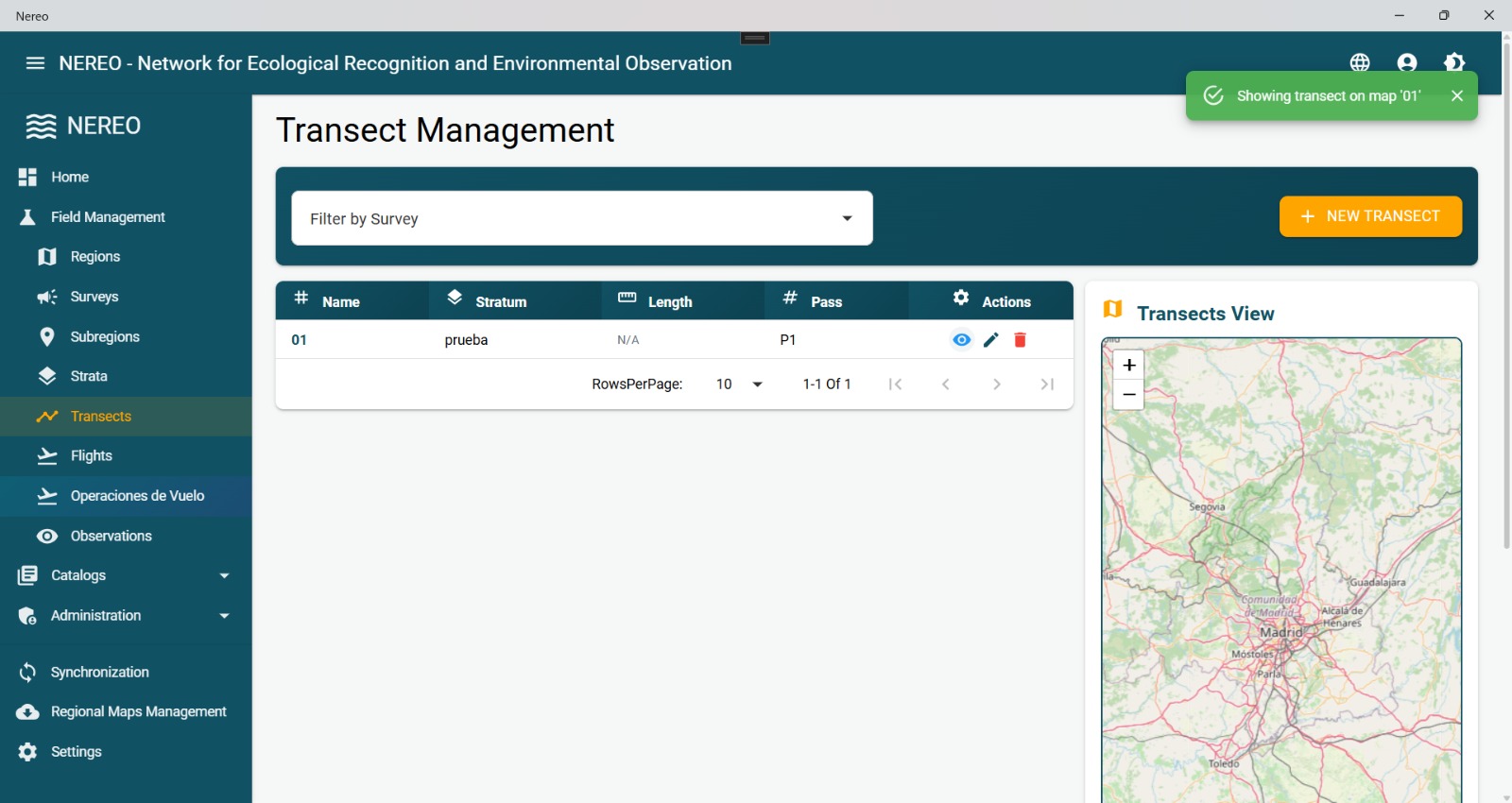
NEREO supports researchers throughout aerial and river surveys of marine wildlife. From route planning to recording sightings, everything works without an internet connection and with the precision that international scientific protocols demand.
- Works 100% without an internet connection
- Syncs automatically whenever there is a signal
- Interactive maps with GPS tracks
- Audio recording during sightings
Identify species instantly with AI
NEREO's image analysis engine recognises marine wildlife directly on your device, with no internet connection required.
You take the photo
From the aircraft or vessel, capture the wildlife image with the camera built into NEREO.
The AI analyses it
In under 2 seconds, the visual recognition model identifies the species present.
The species is suggested
You get the scientific name of the species and a confidence score for the detection.
You confirm
As a researcher you have the final say: you validate or correct the result before saving.
What can you do with NEREO?
Work without internet
Log sightings even hundreds of kilometres offshore, with no signal at all.
Locate every sighting
GPS automatically records the coordinates of every observation while you fly or sail.
Identify species instantly
The AI suggests the species in seconds. You confirm or correct it with your scientific judgement.
Follow international protocols
Field forms follow the REMMOA and ASI standards, guaranteeing comparable data.
Available in your language
Spanish, English, French and German. Ideal for international teams and multinational campaigns.
On any device
The same app runs on Windows laptops, Android tablets or iPads. No separate versions.
How it works in the field
Plan
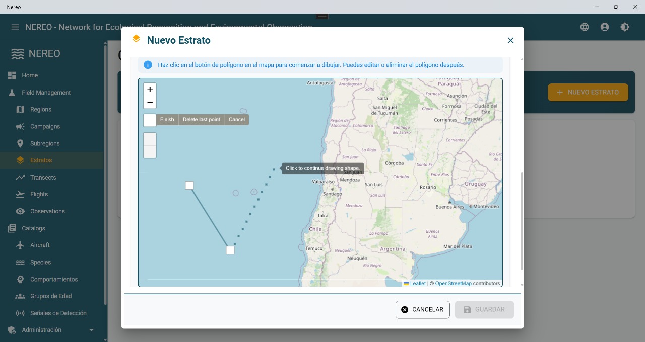
Define the campaign, flight routes, transects and participating team before setting out.
Record in the field
During the flight or voyage, record sightings, coordinates, photos and audio in real time.
Export and analyse
Back on land, sync the data to the cloud and export reports ready for statistical analysis.
Built-in scientific protocols
NEREO digitises the world's most rigorous field protocols for monitoring marine wildlife.
REMMOA
A monitoring network for marine mammals and seabirds, developed by France's Observatoire Pelagis within the ACCOBAMS framework. NEREO implements its recording forms exactly as the researcher uses them in the field.
- Bilateral sighting recording
- Sampling effort per transect
- Environmental and weather conditions
ASI
ACCOBAMS Survey Initiative: the international coordination initiative for cetacean monitoring in the Mediterranean and the Black Sea. NEREO ensures data are comparable across countries and campaigns.
- Standardisation across institutions
- Distance sampling
- Compatible with vessel platforms
Let's take marine science to the next level
NEREO is under active development. If you are a researcher, a scientific institution or a marine conservationist, get in touch for early access.